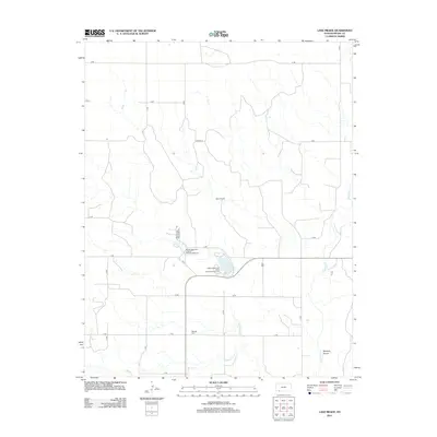
2012 Map of Lake Meade
USGS Topo · Published 2012About this map
Lake Meade and its surrounding drainage systems serve as the central focus of this Meade County landscape. The area is defined by the winding paths of Crooked Cr and Shorts Cr, which cut through the terrain alongside Stumpie Arroyo. This 2012 survey reveals a rural landscape structured by an extensive grid of section roads, from Q RD in the north to Y RD in the south, reflecting the persistent geometric order of High Plains agriculture. For local historians and genealogists, the map provides important markers of early settlement and community heritage, specifically through the preservation of the Seward Cem and Atwater Cem. Recreational development is concentrated near the water, featuring the Meade State Park Artesian Well Campground and the Meade State Park West Shore Campground, which highlight the importance of these water resources in an otherwise arid region.
Find a feature on this map
24 named features on this map. Tap any name to fly to it.
Don’t see what you’re looking for? This feature index may not catch every label — zoom into the map to look around manually.
Map Details
Editions of this 2012 Lake Meade Map
This is the sole edition of this map. No revisions or reprints were ever made.
Other maps of this area

1892 · Meade
USGS Topo · 1:125,000

1955 · Dodge City
USGS Topo · 1:250,000

1958 · Dodge City
USGS Topo · 1:250,000

1959 · Dodge City
USGS Topo · 1:250,000

1962 · Irish Flats NE
USGS Topo · 1:24,000

1962 · Irish Flats SE
USGS Topo · 1:24,000

1963 · Plains
USGS Topo · 1:24,000

1963 · Kismet SE
USGS Topo · 1:24,000

1963 · Kismet NE
USGS Topo · 1:24,000

1963 · Lake Larrabee
USGS Topo · 1:24,000