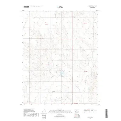
2018 Map of Lake Meade
USGS Topo · Published 2018About this map
Lake Meade serves as the central focal point for this Meade County landscape, where the high plains are carved by several prominent drainage systems. The terrain is defined by the winding course of Crooked Creek and the deep incision of Stumpie Arroyo, illustrating the distinctive erosional patterns of the region. Local history is anchored by the presence of Seward Cem and Atwater Cem, which provide essential points of reference for genealogists tracing families in this part of Kansas. A systematic grid of section roads, including V Rd and 14 Rd, organizes the agricultural territory between these natural landmarks and the waters of Shorts Creek.
Find a feature on this map
24 named features on this map. Tap any name to fly to it.
Don’t see what you’re looking for? This feature index may not catch every label — zoom into the map to look around manually.
Map Details
Editions of this 2018 Lake Meade Map
This is the sole edition of this map. No revisions or reprints were ever made.
Other maps of this area

1892 · Meade
USGS Topo · 1:125,000

1955 · Dodge City
USGS Topo · 1:250,000

1958 · Dodge City
USGS Topo · 1:250,000

1959 · Dodge City
USGS Topo · 1:250,000

1962 · Irish Flats NE
USGS Topo · 1:24,000

1962 · Irish Flats SE
USGS Topo · 1:24,000

1963 · Plains
USGS Topo · 1:24,000

1963 · Kismet SE
USGS Topo · 1:24,000

1963 · Kismet NE
USGS Topo · 1:24,000

1963 · Lake Larrabee
USGS Topo · 1:24,000