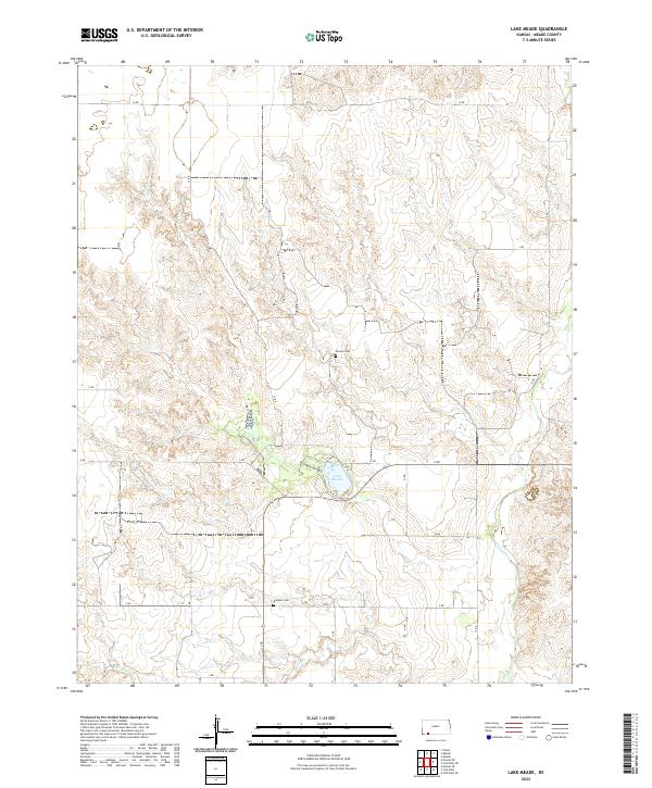
2022 Map of Lake Meade
USGS Topo · Published 2022About this map
Lake Meade serves as a central focal point for this section of Meade County, where the plains are etched by drainage patterns like Stumpie Arroyo and Crooked Cr. The landscape is largely defined by the Public Land Survey System grid, with rural routes such as V RD and 11 RD following section lines across the high plains. This 2022 dataset captures the enduring rural character of the region, anchored by historical landmarks like Seward Cem in the north and Atwater Cem to the south. These small cemeteries, along with drainage features like Shorts Cr, provide critical points of reference for genealogists and local historians tracing the settlement patterns and family lineages of this part of southwest Kansas.
Find a feature on this map
25 named features on this map. Tap any name to fly to it.
Don’t see what you’re looking for? This feature index may not catch every label — zoom into the map to look around manually.
Map Details
Editions of this 2022 Lake Meade Map
This is the sole edition of this map. No revisions or reprints were ever made.
Other maps of this area

1892 · Meade
USGS Topo · 1:125,000

1955 · Dodge City
USGS Topo · 1:250,000

1958 · Dodge City
USGS Topo · 1:250,000

1959 · Dodge City
USGS Topo · 1:250,000

1962 · Irish Flats NE
USGS Topo · 1:24,000

1962 · Irish Flats SE
USGS Topo · 1:24,000

1963 · Plains
USGS Topo · 1:24,000

1963 · Kismet SE
USGS Topo · 1:24,000

1963 · Kismet NE
USGS Topo · 1:24,000

1963 · Lake Larrabee
USGS Topo · 1:24,000