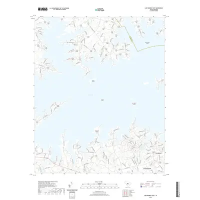
2020 Map of Lake Murray East
USGS Topo · Published 2020About this map
The complex shoreline of Lake Murray dominates this South Carolina landscape, where the waters of the Saluda River basin reach into numerous inlets and coves. The northern portion of the map is a mosaic of peninsulas and named landforms, including Susie Ebert Island, Counts Island, and the Jim Spence Islands. These geographical features reveal the modern residential and recreational character of the area, as seen in the dense network of local roads such as Old Lexington Hwy and Amicks Ferry Rd that wind toward the water's edge.
Find a feature on this map
166 named features on this map. Tap any name to fly to it.
Don’t see what you’re looking for? This feature index may not catch every label — zoom into the map to look around manually.
Map Details
Editions of this 2020 Lake Murray East Map
This is the sole edition of this map. No revisions or reprints were ever made.
Other maps of this area

1904 · Columbia
USGS Topo · 1:125,000

1941 · Spartanburg
USGS Topo · 1:250,000

1944 · Gilbert
USGS Topo · 1:62,500

1944 · Edmund
USGS Topo · 1:62,500

1946 · Irmo
USGS Topo · 1:24,000

1947 · Richtex
USGS Topo · 1:24,000

1948 · Irmo
USGS Topo · 1:24,000

1949 · Richtex
USGS Topo · 1:24,000

1953 · Spartanburg
USGS Topo · 1:250,000

1954 · Augusta
USGS Topo · 1:250,000