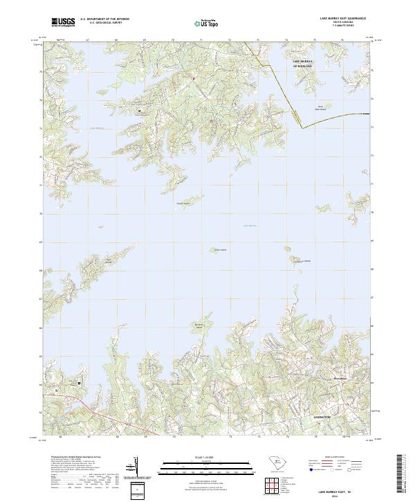
2024 Map of Lake Murray East
USGS Topo · Published 2024About this map
Lake Murray dominates this landscape, where the waters of the Saluda River reservoir meet the boundaries of Lexington Co and Richland Co. The map reveals a complex shoreline of deep coves and numerous named islands, including Susie Ebert Island, Counts Island, and Bundrick Island. These landforms, once high ground in the Saluda Valley, now define the recreational and residential character of the region.
Find a feature on this map
151 named features on this map. Tap any name to fly to it.
Don’t see what you’re looking for? This feature index may not catch every label — zoom into the map to look around manually.
Map Details
Editions of this 2024 Lake Murray East Map
This is the sole edition of this map. No revisions or reprints were ever made.
Historical Maps of Panorama Point Through Time
17 maps found
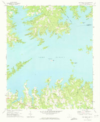
1971 Lake Murray East
Lexington County, SC
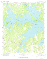
1971 Lake Murray West
Lexington County, SC
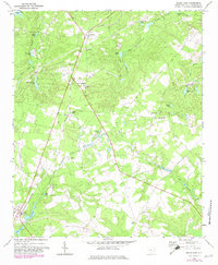
1972 Pelion East
Lexington County, SC
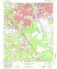
1972 Southwest Columbia
Lexington County, SC
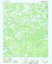
1986 Barr Lake
Lexington County, SC
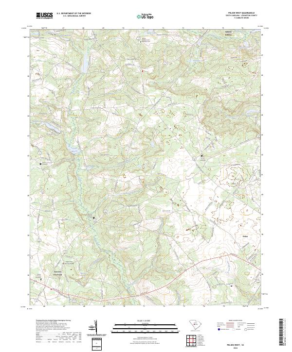
1986 Pelion West
Lexington County, SC
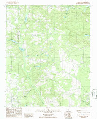
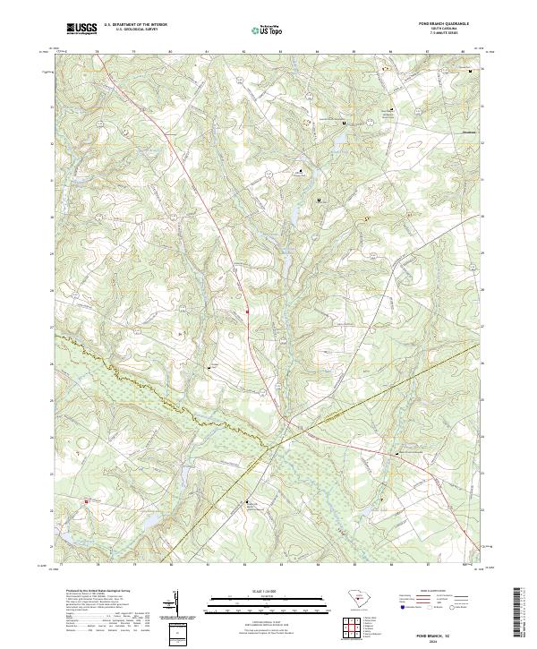
1986 Pond Branch
Lexington County, SC
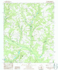
1986 Steedman
Lexington County, SC

1994 Southwest Columbia
Lexington County, SC
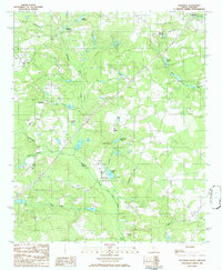
2024 Barr Lake
Lexington County, SC
2024 Lake Murray East
Lexington County, SC
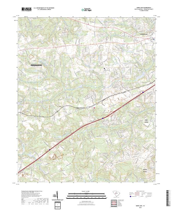
2024 Lake Murray West
Lexington County, SC
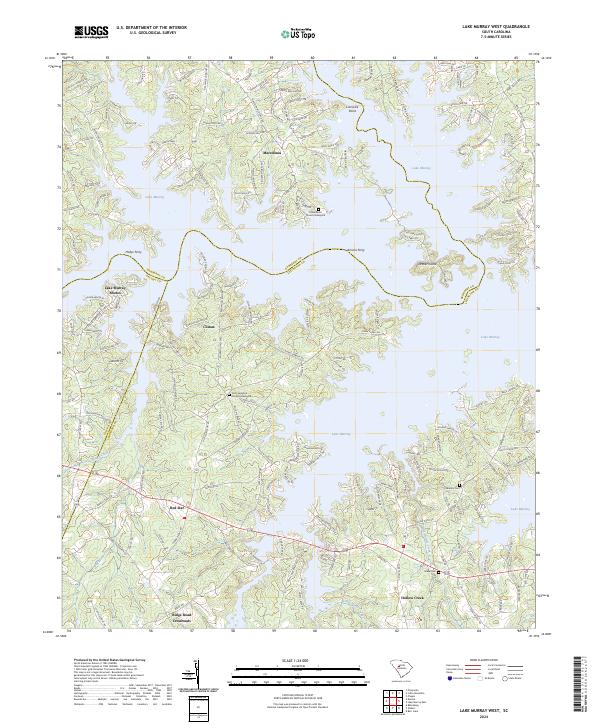
2024 Pelion East
Lexington County, SC
2024 Pelion West
Lexington County, SC
2024 Pond Branch
Lexington County, SC
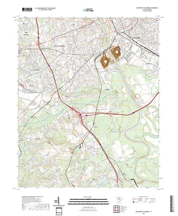
2024 Southwest Columbia
Lexington County, SC
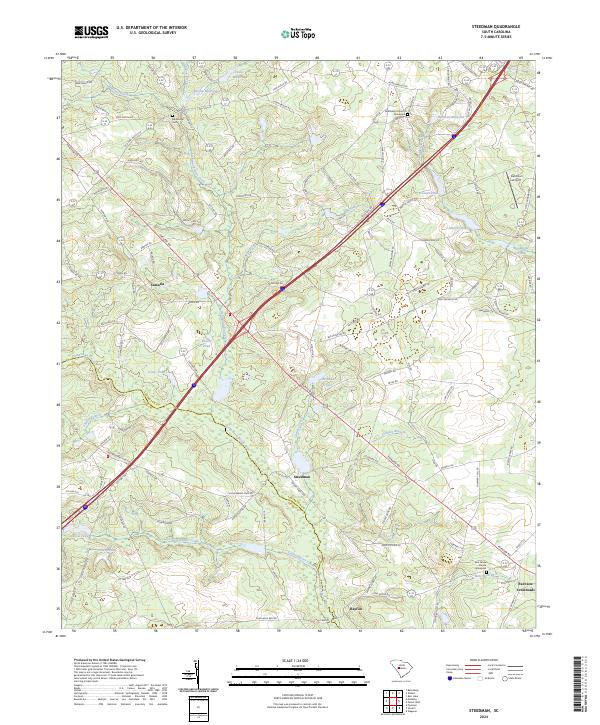
2024 Steedman
Lexington County, SC