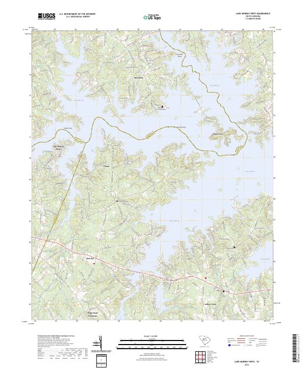
2024 Map of Lake Murray West
USGS Topo · Published 2024About this map
Lake Murray dominates this landscape, its intricate shoreline carving deep into the borders of Newberry, Saluda, and Lexington counties. The map captures the highly developed character of the lake's western reach, where residential clusters like Lake Murray Shores and Macedonia sit alongside historical touchstones such as the Macedonia Church Graveyard. The terrain is defined by low-lying peninsulas like Dreher Island and Lominick Point, which illustrate the transformation of the Saluda River valley into a major reservoir system.
Find a feature on this map
185 named features on this map. Tap any name to fly to it.
Don’t see what you’re looking for? This feature index may not catch every label — zoom into the map to look around manually.
Map Details
Editions of this 2024 Lake Murray West Map
This is the sole edition of this map. No revisions or reprints were ever made.
Other maps of this area

1904 · Columbia
USGS Topo · 1:125,000

1941 · Spartanburg
USGS Topo · 1:250,000

1944 · Gilbert
USGS Topo · 1:62,500

1953 · Spartanburg
USGS Topo · 1:250,000

1954 · Augusta
USGS Topo · 1:250,000

1957 · Augusta
USGS Topo · 1:250,000

1958 · Augusta
USGS Topo · 1:250,000

1960 · Spartanburg
USGS Topo · 1:250,000

1961 · Augusta
USGS Topo · 1:250,000

1962 · Augusta
USGS Topo · 1:250,000