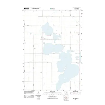
2012 Map of Lake Norden
USGS Topo · Published 2012About this map
Lake Norden and its surrounding chain of glacial lakes define this pocket of Hamlin County, where the town of Lake Norden sits along the western shore. The landscape is characterized by a dense concentration of water bodies including Lake Mary, Lake Saint John, and the expansive Lake Albert, which together create a complex aquatic geography. Settlement patterns follow a rigid section-line grid of rural roads like 450th Ave and 194th ST, punctuated by small community anchors. Genealogists can identify several distinct burial grounds scattered across the townships, such as East Norden Cem, Olivet Cem, and South Trinity Cem. The small settlement of Alsville appears on the eastern edge near the shores of Lake Poinsett, while Wildwood Shrs suggests a residential development concentrated between the lakes, reflecting the area's transition into a recreationally focused landscape.
Find a feature on this map
32 named features on this map. Tap any name to fly to it.
Don’t see what you’re looking for? This feature index may not catch every label — zoom into the map to look around manually.
Map Details
Editions of this 2012 Lake Norden Map
This is the sole edition of this map. No revisions or reprints were ever made.
Other maps of this area

1953 · Watertown
USGS Topo · 1:250,000

1958 · Watertown
USGS Topo · 1:250,000

1968 · Lake Preston NE
USGS Topo · 1:24,000

1968 · Arlington NE
USGS Topo · 1:24,000

1968 · Badger
USGS Topo · 1:24,000

1969 · Hayti
USGS Topo · 1:24,000

1969 · Castlewood
USGS Topo · 1:24,000

1969 · Lake Norden
USGS Topo · 1:24,000

1969 · Lake Poinsett
USGS Topo · 1:24,000

1973 · Bryant NE
USGS Topo · 1:24,000