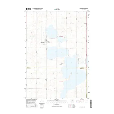
2015 Map of Lake Norden
USGS Topo · Published 2015About this map
Lake Norden serves as the focal point of this glacial lake region situated upon the Coteau des Prairies. The settlement of Lake Norden is flanked by a significant chain of water bodies, including Lake Mary, Lake Saint John, and the northern reaches of Lake Albert. This landscape is defined by its numerous small cemeteries, such as South Trinity Cem and Olivet Cem, which reflect the community's dispersed rural heritage. The boundary between Hamlin and Kingsbury Counties cuts across the southern portion of the map, intersecting the massive waters of Lake Albert. The terrain is also marked by Gertson Slough and Dolph Cr, highlighting a complex drainage system typical of the eastern South Dakota plains during the early 21st century.
Find a feature on this map
45 named features on this map. Tap any name to fly to it.
Don’t see what you’re looking for? This feature index may not catch every label — zoom into the map to look around manually.
Map Details
Editions of this 2015 Lake Norden Map
This is the sole edition of this map. No revisions or reprints were ever made.
Other maps of this area

1953 · Watertown
USGS Topo · 1:250,000

1958 · Watertown
USGS Topo · 1:250,000

1968 · Lake Preston NE
USGS Topo · 1:24,000

1968 · Arlington NE
USGS Topo · 1:24,000

1968 · Badger
USGS Topo · 1:24,000

1969 · Hayti
USGS Topo · 1:24,000

1969 · Castlewood
USGS Topo · 1:24,000

1969 · Lake Norden
USGS Topo · 1:24,000

1969 · Lake Poinsett
USGS Topo · 1:24,000

1973 · Bryant NE
USGS Topo · 1:24,000