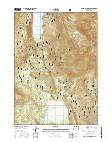
2017 Map of Lake of the Woods South
USGS Topo · Published 2017About this map
Lake of the Woods and the wetlands of Buck Lake anchor this high-elevation landscape within the Rogue River National Forest and Winema National Forest. The 2017 terrain is defined by volcanic peaks such as Whiteface Peak, Greylock Mtn, and Crater Mtn, which overlook a network of seasonal roads and snowmobile trails like Sunset Snomo. Numerous water sources, including Ichabod Spring, Crystalline Spring, and Rainbow Springs, indicate the area's hydrology and importance for local wildlife and forest management.
Find a feature on this map
49 named features on this map. Tap any name to fly to it.
Don’t see what you’re looking for? This feature index may not catch every label — zoom into the map to look around manually.
Map Details
Editions of this 2017 Lake of the Woods South Map
This is the sole edition of this map. No revisions or reprints were ever made.
Other maps of this area

1891 · Ashland
USGS Topo · 1:250,000

1893 · Ashland
USGS Topo · 1:250,000

1897 · Ashland
USGS Topo · 1:250,000

1955 · Lake O' Woods
USGS Topo · 1:62,500

1955 · Surveyor Mtn
USGS Topo · 1:62,500

1955 · Hyatt Reservoir
USGS Topo · 1:62,500

1955 · Mt. Mc Loughlin
USGS Topo · 1:62,500

1955 · Medford
USGS Topo · 1:250,000

1957 · Medford
USGS Topo · 1:250,000

1958 · Medford
USGS Topo · 1:250,000