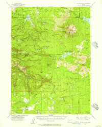
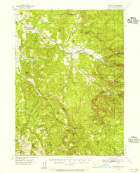
1955 Map of Mt. Mc Loughlin
USGS Topo · Published 1957About this map
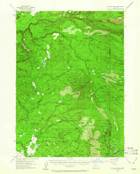
Mt McLoughlin dominates the northeast corner of this mid-1950s survey of the Southern Cascades, where the volcanic peak casts a shadow over a landscape defined by forestry and high-altitude water management. The map reveals the intricate network of the Rogue River National Forest, featuring a series of specialized forest camps such as Calamity Forest Camp and Whisky Spring Forest Camp. Human presence is marked by isolated outposts like Swede Cabin and the former location of Deadwood, alongside active infrastructure like the Big Elk Guard Station and Moon Prairie Guard Station.
Find a feature on this map
83 named features on this map. Tap any name to fly to it.
Don’t see what you’re looking for? This feature index may not catch every label — zoom into the map to look around manually.
Map Details
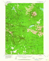
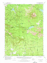
Editions of this 1955 Mt. Mc Loughlin Map
3 editions found
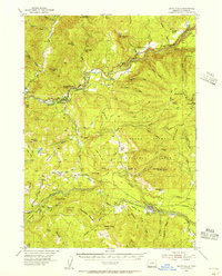
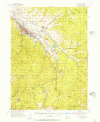
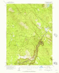
Other maps of this area

1891 · Ashland
USGS Topo · 1:250,000

1893 · Ashland
USGS Topo · 1:250,000

1897 · Ashland
USGS Topo · 1:250,000

1938 · Medford
USGS Topo · 1:125,000
1954 · Butte Falls
USGS Topo · 1:62,500
1954 · Lakecreek
USGS Topo · 1:62,500
1954 · Ashland
USGS Topo · 1:62,500
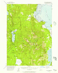
1955 · Lake O' Woods
USGS Topo · 1:62,500
1955 · Surveyor Mtn
USGS Topo · 1:62,500
1955 · Rustler Peak
USGS Topo · 1:62,500