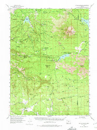
1955 Map of Mt. Mc Loughlin
USGS Topo · Published 1974About this map
Mt. McLoughlin dominates this high-altitude landscape in the southern Cascades during the mid-1950s. The topography is defined by complex volcanic features, including extensive Lava flows stretching toward Brown Mtn and the prominent volcanic peaks of North Squaw Tip and South Squaw Tip. Water management and recreation appear throughout the forest, centered on Willow Lake and Fish Lake, both supporting seasonal activity at the Willow Creek Resort and Fish Lake Resort.
Find a feature on this map
96 named features on this map. Tap any name to fly to it.
Don’t see what you’re looking for? This feature index may not catch every label — zoom into the map to look around manually.
Map Details
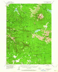
Editions of this 1955 Mt. Mc Loughlin Map
3 editions found

Other maps of this area

1891 · Ashland
USGS Topo · 1:250,000

1893 · Ashland
USGS Topo · 1:250,000

1897 · Ashland
USGS Topo · 1:250,000

1938 · Medford
USGS Topo · 1:125,000

1954 · Butte Falls
USGS Topo · 1:62,500

1954 · Lakecreek
USGS Topo · 1:62,500

1954 · Ashland
USGS Topo · 1:62,500

1955 · Lake O' Woods
USGS Topo · 1:62,500

1955 · Surveyor Mtn
USGS Topo · 1:62,500

1955 · Rustler Peak
USGS Topo · 1:62,500