
1955 Map of Hyatt Reservoir
USGS Topo · Published 1957About this map
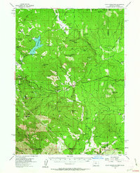
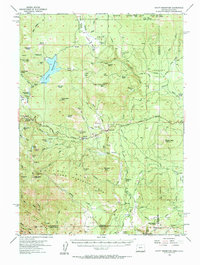
The high meadows and ranching outposts of the Southern Oregon Cascades define this mid-century survey. Hyatt Reservoir and the smaller Little Hyatt Reservoir dominate the northern terrain, surrounded by the high-elevation flats of Rogue River National Forest. The landscape is a network of remote family-named operations, including Schoolhouse Ranch, Summit Ranch, and Burnt Creek Ranch, many of which were clustered near the transit corridor of the Green Springs Highway.
Find a feature on this map
84 named features on this map. Tap any name to fly to it.
Don’t see what you’re looking for? This feature index may not catch every label — zoom into the map to look around manually.
Map Details
Editions of this 1955 Hyatt Reservoir Map
3 editions found
Other maps of this area

1886 · Shasta
USGS Topo · 1:250,000

1891 · Ashland
USGS Topo · 1:250,000

1893 · Ashland
USGS Topo · 1:250,000

1894 · Shasta
USGS Topo · 1:250,000

1897 · Ashland
USGS Topo · 1:250,000

1922 · Shasta Valley Sheet No 16
USGS Topo · 1:24,000

1922 · Shasta Valley Sheet No 15
USGS Topo · 1:24,000

1932 · Yreka
USGS Topo · 1:96,000

1934 · Macdoel
USGS Topo · 1:96,000

1938 · Medford
USGS Topo · 1:125,000