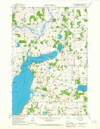
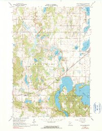
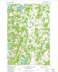
1966 Map of Lake Osakis East
USGS Topo · Published 1967This historical map portrays the area of Lake Osakis East in 1966, primarily covering Todd County. Featuring a scale of 1:24000, this map provides a highly detailed snapshot of the terrain, roads, buildings, counties, and historical landmarks in the Lake Osakis East region at the time. Published in 1967, it is the sole known edition of this map.
Find a feature on this map
38 named features on this map. Tap any name to fly to it.
Don’t see what you’re looking for? This feature index may not catch every label — zoom into the map to look around manually.
Map Details
Editions of this 1966 Lake Osakis East Map
This is the sole edition of this map. No revisions or reprints were ever made.
Historical Maps of Todd County Through Time
10 maps found
1966 Aldrich South
Todd County, MN
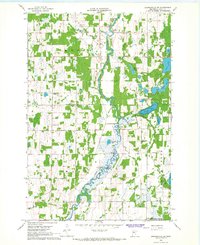
1966 Browerville NE
Todd County, MN
1966 Browerville SW
Todd County, MN
1966 Lake Osakis East
Todd County, MN
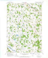
1966 Round Prairie
Todd County, MN
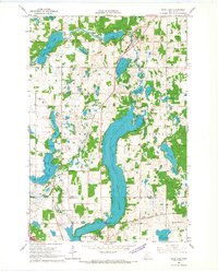
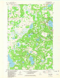
1966 Sauk Lake
Todd County, MN
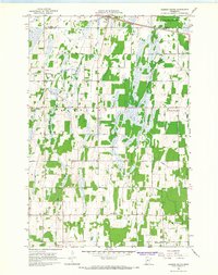
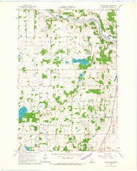
1966 Ward Springs
Todd County, MN
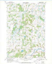
1969 Clotho
Todd County, MN
1981 Lake Beauty
Todd County, MN
1981 Lincoln
Todd County, MN