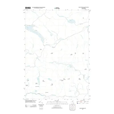
2013 Map of Lake Ozonia
USGS Topo · Published 2013About this map
Lake Ozonia and its surrounding northern Adirondack peaks anchor this landscape in Saint Lawrence County. The drainage patterns are clearly defined by the Lake Ozonia Outlet and the complex network of the Stony Brook, which winds through the southern portion of the quadrangle. High elevations are prominent throughout, including Azure Mountain to the southeast and the cluster of summits near Eagle Mountain and Ladder Mountain.
Find a feature on this map
49 named features on this map. Tap any name to fly to it.
Don’t see what you’re looking for? This feature index may not catch every label — zoom into the map to look around manually.
Map Details
Editions of this 2013 Lake Ozonia Map
This is the sole edition of this map. No revisions or reprints were ever made.
Other maps of this area

1905 · Saint Regis
USGS Topo · 1:62,500

1919 · Nicholville
USGS Topo · 1:62,500

1920 · Childwold
USGS Topo · 1:62,500

1921 · Childwold
USGS Topo · 1:48,000

1921 · Nicholville
USGS Topo · 1:62,500

1921 · Santa Clara
USGS Topo · 1:62,500

1922 · Childwold
USGS Topo · 1:62,500

1923 · Santa Clara
USGS Topo · 1:62,500

1948 · Ogdensburg
USGS Topo · 1:250,000

1951 · Ogdensburg
USGS Topo · 1:250,000