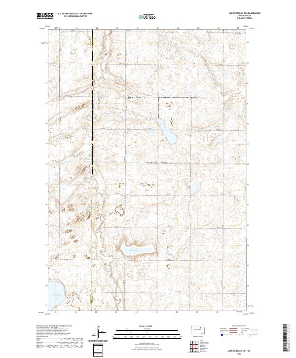
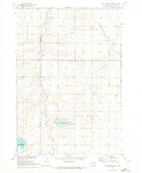
2021 Map of Lake Parmley SW
USGS Topo · Published 2021About this map
The border of Edmunds Co and Brown Co runs vertically through this section of the Glacial Woods and Prairie region, a landscape defined by its distinctive prairie potholes and seasonal water bodies. The most prominent natural features are the expansive Salt Lake and the northern portion of North Scatterwood Lake, which anchor the southern half of the quadrangle. This 2021 survey reveals a strictly rectilinear grid of section-line roads, including 372nd Ave and 139th St, reflecting the persistent influence of the Public Land Survey System on modern South Dakota geography. While primarily agricultural and sparse in named settlements, the map provides precise locations for county routes such as Co Rd 2 and Co Rd 24 as they navigate the undulating, water-pocked terrain near the township lines of t121n r65w and t122n r66w.
Find a feature on this map
25 named features on this map. Tap any name to fly to it.
Don’t see what you’re looking for? This feature index may not catch every label — zoom into the map to look around manually.
Map Details
Editions of this 2021 Lake Parmley SW Map
This is the sole edition of this map. No revisions or reprints were ever made.
Other maps of this area

1899 · Northville
USGS Topo · 1:125,000

1954 · Aberdeen
USGS Topo · 1:250,000

1956 · Aberdeen
USGS Topo · 1:250,000

1960 · Aberdeen West
USGS Topo · 1:24,000

1960 · Rudolph
USGS Topo · 1:24,000
1960 · Northville
USGS Topo · 1:24,000
1966 · Chelsea
USGS Topo · 1:24,000
1966 · Cresbard NE
USGS Topo · 1:24,000

1970 · Lake Parmley
USGS Topo · 1:24,000
1970 · Lake Parmley SW
USGS Topo · 1:24,000