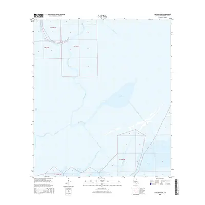
2015 Map of Lake Penchant
USGS Topo · Published 2015About this map
Bayou Penchant meanders through the heart of this coastal wetland landscape in Terrebonne Parish, Louisiana. The 2015 data reflects an intricate system of natural waterways and man-made channels that facilitate movement and drainage across the low-lying terrain. Significant bodies of water such as Lake Penchant and Lake De Cade dominate the eastern half of the area, while the western portion is defined by a dense network of canals, including the Brady Canal and Superior Canal.
Find a feature on this map
19 named features on this map. Tap any name to fly to it.
Don’t see what you’re looking for? This feature index may not catch every label — zoom into the map to look around manually.
Map Details
Editions of this 2015 Lake Penchant Map
This is the sole edition of this map. No revisions or reprints were ever made.
Other maps of this area

1892 · Gibson
USGS Topo · 1:62,500

1894 · Bayou De Large
USGS Topo · 1:62,500

1897 · Gibson
USGS Topo · 1:62,500

1932 · Lake Decade
USGS Topo · 1:62,500

1935 · Theriot
USGS Topo · 1:31,680

1935 · Morgan City
USGS Topo · 1:62,500

1935 · Lake Mechant
USGS Topo · 1:31,680

1935 · Lake Penchant
USGS Topo · 1:31,680

1939 · Gibson
USGS Topo · 1:62,500

1940 · Bayou Du Large
USGS Topo · 1:62,500