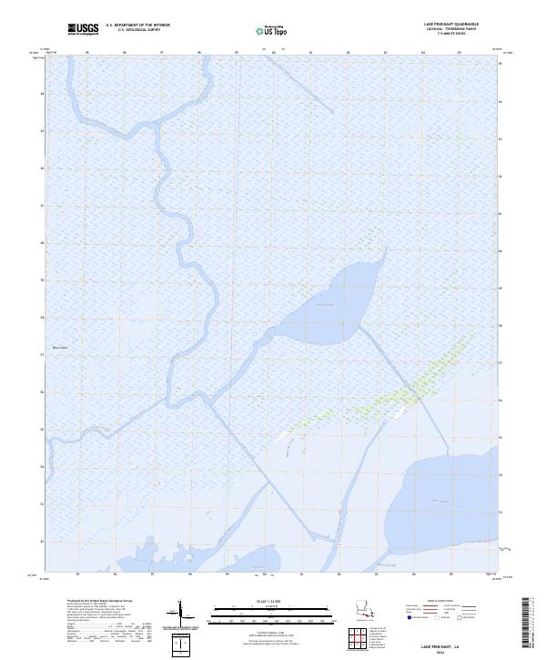
2024 Map of Lake Penchant
USGS Topo · Published 2024About this map
Lake Penchant anchors a landscape defined by the intricate hydrology of Terrebonne Parish. The area is dominated by a complex web of natural bayous and artificial waterways, reflecting the region's managed wetlands. Water flows through the Bayou Penchant system and is diverted via engineering features like the Huth Canal, Superior Canal, and Peoples Canal. These canals are characteristic of coastal Louisiana's oil, gas, and drainage history, cutting straight lines across the meandering paths of Bayou la Loutre and Little Carencro Bayou.
Find a feature on this map
20 named features on this map. Tap any name to fly to it.
Don’t see what you’re looking for? This feature index may not catch every label — zoom into the map to look around manually.
Map Details
Editions of this 2024 Lake Penchant Map
This is the sole edition of this map. No revisions or reprints were ever made.
Other maps of this area

1892 · Gibson
USGS Topo · 1:62,500

1894 · Bayou De Large
USGS Topo · 1:62,500

1897 · Gibson
USGS Topo · 1:62,500

1932 · Lake Decade
USGS Topo · 1:62,500

1935 · Theriot
USGS Topo · 1:31,680

1935 · Morgan City
USGS Topo · 1:62,500

1935 · Lake Mechant
USGS Topo · 1:31,680

1935 · Lake Penchant
USGS Topo · 1:31,680

1939 · Gibson
USGS Topo · 1:62,500

1940 · Bayou Du Large
USGS Topo · 1:62,500