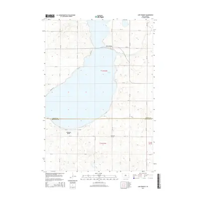
2015 Map of Lake Poinsett
USGS Topo · Published 2015About this map
Lake Poinsett dominates this landscape on the glacial highland of the Coteau des Prairies, where its sprawling shoreline is defined by recreational and residential developments. The map highlights the localized settlement at Arlington Beach along the southern shore and the cluster known as Stone Bridge where a narrow land bridge separates the lake waters to the north. A dense network of local routes like NW Lake Dr and SE Lake Dr trace the water's edge, reflecting the area's mid-century transition into a prominent regional destination. Straddling the boundary of Hamlin and Brookings counties, the map provides fine-grained detail of the section lines and rural grid that extend away from the lake into the surrounding agricultural prairie.
Find a feature on this map
28 named features on this map. Tap any name to fly to it.
Don’t see what you’re looking for? This feature index may not catch every label — zoom into the map to look around manually.
Map Details
Editions of this 2015 Lake Poinsett Map
This is the sole edition of this map. No revisions or reprints were ever made.
Other maps of this area

1953 · Watertown
USGS Topo · 1:250,000

1958 · Watertown
USGS Topo · 1:250,000

1968 · Bruce
USGS Topo · 1:24,000

1968 · Arlington NE
USGS Topo · 1:24,000

1968 · Badger
USGS Topo · 1:24,000

1969 · Hayti
USGS Topo · 1:24,000

1969 · Dempster
USGS Topo · 1:24,000

1969 · Castlewood
USGS Topo · 1:24,000

1969 · Lake Norden
USGS Topo · 1:24,000

1969 · Lake Poinsett
USGS Topo · 1:24,000