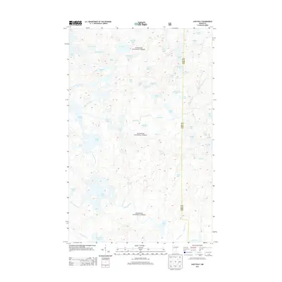
2013 Map of Lake Polly
USGS Topo · Published 2013About this map
Superior National Forest defines this roadless wilderness in northeastern Minnesota, where the drainage systems of the Kawishiwi River and Louse River dictate the landscape's character. This 2013 survey illustrates a complex network of interconnected water bodies, from the larger Malberg Lake and Adams Lake to smaller, distinctively named features like Kickshaw Lake and Kivandeba Lake. The map details the boundary between Lake County and Cook County, which runs through a dense corridor of lakes including Edge Lake and Tool Lake. The absence of developed roads or settlements highlights the area's role as a protected natural basin, where water levels and creek paths like Barto Cr remain the primary geographical landmarks for navigation and study within the Boundary Waters region.
Find a feature on this map
50 named features on this map. Tap any name to fly to it.
Don’t see what you’re looking for? This feature index may not catch every label — zoom into the map to look around manually.
Map Details
Editions of this 2013 Lake Polly Map
This is the sole edition of this map. No revisions or reprints were ever made.
Other maps of this area

1954 · Two Harbors
USGS Topo · 1:250,000

1957 · Two Harbors
USGS Topo · 1:250,000

1957 · Quetico
USGS Topo · 1:250,000

1958 · Two Harbors
USGS Topo · 1:250,000

1959 · Ogishkemuncie Lake
USGS Topo · 1:24,000

1959 · Kekekabic Lake
USGS Topo · 1:24,000

1959 · Gillis Lake
USGS Topo · 1:24,000

1960 · Lake Polly
USGS Topo · 1:24,000

1960 · Kawishiwi Lake
USGS Topo · 1:24,000

1960 · Perent Lake
USGS Topo · 1:24,000