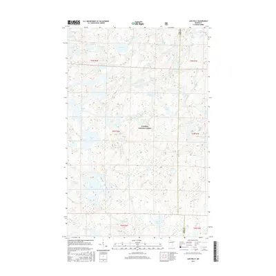
2016 Map of Lake Polly
USGS Topo · Published 2016About this map
Superior National Forest encompasses this aquatic-heavy landscape, where a intricate network of glacial lakes and waterways defines the border between Lake and Cook counties. The Louse River flows through the central portion of the quadrangle, connecting varied basins such as Bowstring Lake and Trail Lake. This terrain is characterized by its density of named water bodies, including Malberg Lake and Perent Lake, which indicate a wilderness area largely untouched by traditional road infrastructure or permanent settlements. The presence of the Lake Co Cook Co boundary line cutting through several of these lakes highlights the complex administrative mapping of this remote northern Minnesota region. For those studying the hydrology and geography of the Boundary Waters vicinity, this sheet provides exact placement of smaller features like Redstart Lake and Snort Lake.
Find a feature on this map
55 named features on this map. Tap any name to fly to it.
Don’t see what you’re looking for? This feature index may not catch every label — zoom into the map to look around manually.
Map Details
Editions of this 2016 Lake Polly Map
This is the sole edition of this map. No revisions or reprints were ever made.
Other maps of this area

1954 · Two Harbors
USGS Topo · 1:250,000

1957 · Two Harbors
USGS Topo · 1:250,000

1957 · Quetico
USGS Topo · 1:250,000

1958 · Two Harbors
USGS Topo · 1:250,000

1959 · Ogishkemuncie Lake
USGS Topo · 1:24,000

1959 · Kekekabic Lake
USGS Topo · 1:24,000

1959 · Gillis Lake
USGS Topo · 1:24,000

1960 · Lake Polly
USGS Topo · 1:24,000

1960 · Kawishiwi Lake
USGS Topo · 1:24,000

1960 · Perent Lake
USGS Topo · 1:24,000