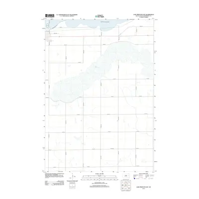
2012 Map of Lake Preston East
USGS Topo · Published 2012About this map
Lake Whitewood dominates the central landscape of this Kingsbury County quadrangle, showing the expansive natural hydrology of eastern South Dakota. The northern portion of the map is defined by the Lake Preston Lakebed, indicating a landscape where water levels and land use are closely tied to the region's glacial history and seasonal cycles. The rural infrastructure follows a rigid section-line grid, typical of the Great Plains, with roads like 208th St and 444th Ave providing access to the fertile surrounding acreage. In the southern portion of the survey, the United Cem serves as a significant landmark for genealogical research. The town outskirts appear in the northwest, where residential streets like 4th St NE and 3rd St NE meet thoroughfares such as Orange Bridge Rd, marking the transition from the town center to the open prairie and lakefront.
Find a feature on this map
23 named features on this map. Tap any name to fly to it.
Don’t see what you’re looking for? This feature index may not catch every label — zoom into the map to look around manually.
Map Details
Editions of this 2012 Lake Preston East Map
This is the sole edition of this map. No revisions or reprints were ever made.
Other maps of this area

1953 · Watertown
USGS Topo · 1:250,000

1958 · Watertown
USGS Topo · 1:250,000

1968 · Lake Preston East
USGS Topo · 1:24,000

1968 · Lake Preston West
USGS Topo · 1:24,000

1968 · Lake Preston NE
USGS Topo · 1:24,000

1968 · Oldham NW
USGS Topo · 1:24,000

1968 · Arlington
USGS Topo · 1:24,000

1968 · Erwin
USGS Topo · 1:24,000

1968 · Oldham
USGS Topo · 1:24,000

1968 · Badger
USGS Topo · 1:24,000