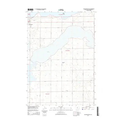
2015 Map of Lake Preston East
USGS Topo · Published 2015About this map
Lake Preston anchors the northwestern corner of this Kingsbury County landscape, where the town limits meet a series of dramatic glacial water bodies and depressions. The geography is defined by the Coteau des Prairies, a vast upland plateau that shaped the region's drainage and settlement patterns. Notable water features include the expansive Lake Whitewood and the nearby Lake Preston Lakebed, which illustrate the fluctuating water levels characteristic of the eastern South Dakota plains. A grid of section roads, including Orange Bridge Rd and numbered avenues such as 445th Ave, provides access to the agricultural interior. For genealogists and local historians, the presence of United Cem in the southern portion of the quadrangle serves as a vital marker of the early community and its rural families.
Find a feature on this map
28 named features on this map. Tap any name to fly to it.
Don’t see what you’re looking for? This feature index may not catch every label — zoom into the map to look around manually.
Map Details
Editions of this 2015 Lake Preston East Map
This is the sole edition of this map. No revisions or reprints were ever made.
Other maps of this area

1953 · Watertown
USGS Topo · 1:250,000

1958 · Watertown
USGS Topo · 1:250,000

1968 · Lake Preston East
USGS Topo · 1:24,000

1968 · Lake Preston West
USGS Topo · 1:24,000

1968 · Lake Preston NE
USGS Topo · 1:24,000

1968 · Oldham NW
USGS Topo · 1:24,000

1968 · Arlington
USGS Topo · 1:24,000

1968 · Erwin
USGS Topo · 1:24,000

1968 · Oldham
USGS Topo · 1:24,000

1968 · Badger
USGS Topo · 1:24,000