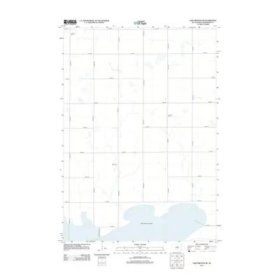
2012 Map of Lake Preston NE
USGS Topo · Published 2012About this map
The vast, flat expanse of Lake Preston Lakebed dominates the southern reaches of this landscape in Kingsbury County. This area of South Dakota is defined by its precise grid of section-line roads, such as 444th Ave and 202nd St, which partition the prairie into a rigid agricultural geometry. Genealogy value is concentrated in several small rural burial grounds that dot the plains, including Bethania Cem, Odden Cem, and Hinderlie Cem. These cemeteries are the primary remnants of the early pioneer communities that established farmsteads across the township. The infrastructure is primarily composed of these numbered gravel routes and local connectors like Orange Bridge Rd, which skirts the edge of the lakebed. The map illustrates a rural environment where land use is dictated by the legacy of the Public Land Survey System and the natural drainage patterns of the prairie potholes.
Find a feature on this map
20 named features on this map. Tap any name to fly to it.
Don’t see what you’re looking for? This feature index may not catch every label — zoom into the map to look around manually.
Map Details
Editions of this 2012 Lake Preston NE Map
This is the sole edition of this map. No revisions or reprints were ever made.
Other maps of this area

1953 · Watertown
USGS Topo · 1:250,000

1958 · Watertown
USGS Topo · 1:250,000

1968 · Lake Preston East
USGS Topo · 1:24,000

1968 · Lake Preston West
USGS Topo · 1:24,000

1968 · Lake Preston NE
USGS Topo · 1:24,000

1968 · Arlington
USGS Topo · 1:24,000

1968 · Erwin
USGS Topo · 1:24,000

1968 · Badger
USGS Topo · 1:24,000

1969 · Lake Norden
USGS Topo · 1:24,000

1973 · Bryant
USGS Topo · 1:24,000