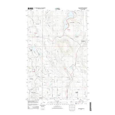
2014 Map of Lake Roesiger
USGS Topo · Published 2014About this map
Lake Roesiger and the complex drainage of the Snohomish River basin dominate this 2014 survey. The landscape is defined by its glacial hydrology, featuring a cluster of smaller water bodies including Storm Lake, Flowing Lake, and Meadow Lake. Residential and agricultural patterns are evident in communities like Forest Glade and Monroe North, where the road network transitions from the rectilinear grid of t28n r6e into the more winding corridors required by the varied elevation.
Find a feature on this map
141 named features on this map. Tap any name to fly to it.
Don’t see what you’re looking for? This feature index may not catch every label — zoom into the map to look around manually.
Map Details
Editions of this 2014 Lake Roesiger Map
This is the sole edition of this map. No revisions or reprints were ever made.
Other maps of this area

1895 · Snohomish
USGS Topo · 1:125,000

1897 · Seattle
USGS Topo · 1:125,000

1899 · Stillaguamish
USGS Topo · 1:125,000

1901 · Stilaguamish
USGS Topo · 1:125,000

1911 · Mount Vernon
USGS Topo · 1:125,000

1921 · Sultan
USGS Topo · 1:125,000

1923 · Sultan
USGS Topo · 1:125,000

1941 · Marysville
USGS Topo · 1:62,500

1943 · Marysville
USGS Topo · 1:62,500

1944 · Everett
USGS Topo · 1:62,500