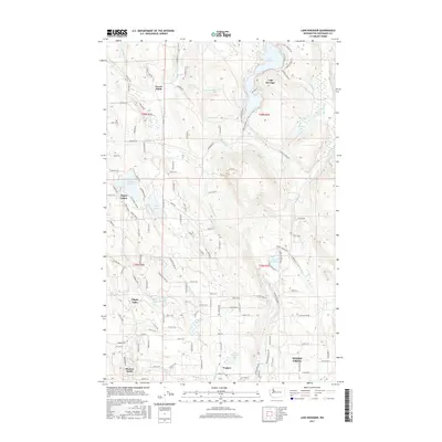
2017 Map of Lake Roesiger
USGS Topo · Published 2017About this map
Lake Roesiger and its surrounding watershed define the topography of this portion of Snohomish County, where a network of glacial lakes and small creeks shapes the residential and timber landscape. The settlement of Forest Glade sits in the northwest, while the southern reaches show the early residential expansion of Monroe North and Wagner. Water remains the central feature, with Flowing Lake, Storm Lake, and Three Lakes clustered to the west, each connected by a winding grid of local roads like Storm Lake RD and Dubuque RD. The drainage patterns of Woods Cr and Richardson Cr illustrate the complex hydrology of the region, flowing through a mix of established lakeside communities and newer developments. This 2017 survey reflects the area's modern character as a recreational and suburban retreat, particularly around Lake Cochran and the smaller Bevis Lake.
Find a feature on this map
120 named features on this map. Tap any name to fly to it.
Don’t see what you’re looking for? This feature index may not catch every label — zoom into the map to look around manually.
Map Details
Editions of this 2017 Lake Roesiger Map
This is the sole edition of this map. No revisions or reprints were ever made.
Other maps of this area

1895 · Snohomish
USGS Topo · 1:125,000

1897 · Seattle
USGS Topo · 1:125,000

1899 · Stillaguamish
USGS Topo · 1:125,000

1901 · Stilaguamish
USGS Topo · 1:125,000

1911 · Mount Vernon
USGS Topo · 1:125,000

1921 · Sultan
USGS Topo · 1:125,000

1923 · Sultan
USGS Topo · 1:125,000

1941 · Marysville
USGS Topo · 1:62,500

1943 · Marysville
USGS Topo · 1:62,500

1944 · Everett
USGS Topo · 1:62,500