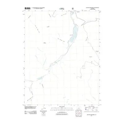
2011 Map of Lake San Cristobal
USGS Topo · Published 2011About this map
Lake San Cristobal dominates this high-altitude landscape of Hinsdale County, where the Lake Fork river winds through deep gulches and expansive alpine parks. The topography is defined by the remnants of the region's mining heritage, most notably at the Belle of the West Mine located near the northern edge of the quadrangle. High peaks such as Red Mountain, Grassy Mountain, and 71 Mountain tower over the drainage systems of Slumgullion Creek and Williams Creek.
Find a feature on this map
37 named features on this map. Tap any name to fly to it.
Don’t see what you’re looking for? This feature index may not catch every label — zoom into the map to look around manually.
Map Details
Editions of this 2011 Lake San Cristobal Map
This is the sole edition of this map. No revisions or reprints were ever made.
Other maps of this area

1903 · Lake City
USGS Topo · 1:62,500

1905 · Lake City
USGS Topo · 1:62,500

1905 · San Cristobal
USGS Topo · 1:125,000

1907 · San Cristobal
USGS Topo · 1:125,000

1908 · Uncompahgre
USGS Topo · 1:125,000

1911 · Uncompahgre
USGS Topo · 1:125,000

1945 · Durango
USGS Topo · 1:250,000

1953 · Durango
USGS Topo · 1:250,000

1954 · Durango
USGS Topo · 1:250,000

1956 · Montrose
USGS Topo · 1:250,000