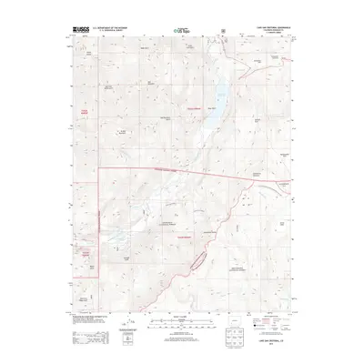
2013 Map of Lake San Cristobal
USGS Topo · Published 2013About this map
Lake San Cristobal dominates this high-altitude landscape of the San Juan Mountains, fed by the Lake Fork and surrounded by the dramatic geological history of the Slumgullion Slide and Slumgullion Earthflow. The terrain is defined by its extreme vertical relief, with named peaks like Red Mountain and Seventyone Mountain rising above high-country basins such as Sawmill Park and Rambouillet Park. Running through the southern portion of the quadrangle is the Continental Divide National Scenic Trail, following the spine of the Continental Divide itself. This map reveals the intersection of the Gunnison National Forest and Rio Grande National Forest, capturing a wilderness characterized by deep gulches like Wager Gulch and Alpine Gulch, and the remote Castle Lakes.
Find a feature on this map
39 named features on this map. Tap any name to fly to it.
Don’t see what you’re looking for? This feature index may not catch every label — zoom into the map to look around manually.
Map Details
Editions of this 2013 Lake San Cristobal Map
This is the sole edition of this map. No revisions or reprints were ever made.
Other maps of this area

1903 · Lake City
USGS Topo · 1:62,500

1905 · Lake City
USGS Topo · 1:62,500

1905 · San Cristobal
USGS Topo · 1:125,000

1907 · San Cristobal
USGS Topo · 1:125,000

1908 · Uncompahgre
USGS Topo · 1:125,000

1911 · Uncompahgre
USGS Topo · 1:125,000

1945 · Durango
USGS Topo · 1:250,000

1953 · Durango
USGS Topo · 1:250,000

1954 · Durango
USGS Topo · 1:250,000

1956 · Montrose
USGS Topo · 1:250,000