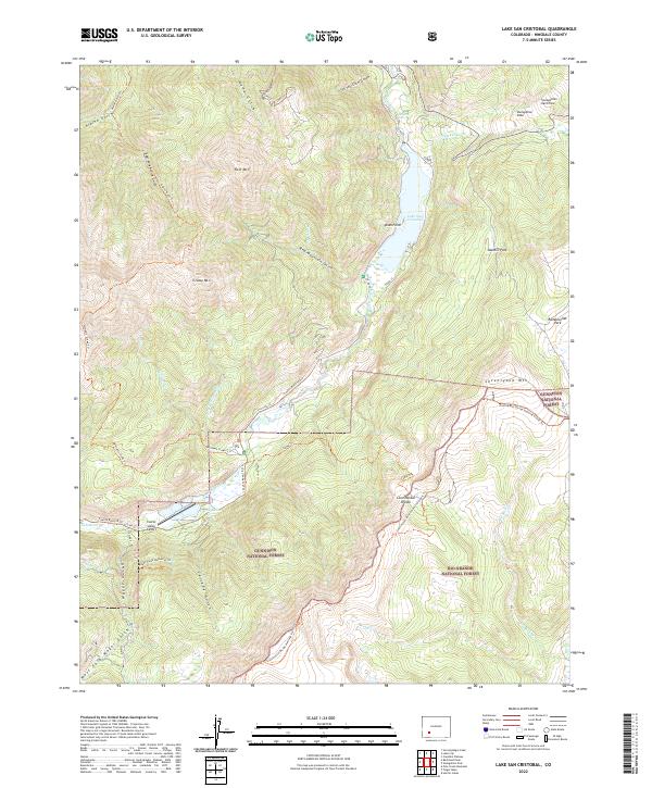
2022 Map of Lake San Cristobal
USGS Topo · Published 2022About this map
Lake San Cristobal dominates this high-altitude landscape, formed by the massive Slumgullion Earthflow which blocked the Lake Fork of the Gunnison River. The terrain is defined by dramatic geological features like the Slumgullion Slide and towering peaks such as Red Mtn and Grassy Mtn. The map highlights the intersection of the Gunnison National Forest and Rio Grande National Forest, with the Continental Divide winding through the southern portion of the quadrangle.
Find a feature on this map
46 named features on this map. Tap any name to fly to it.
Don’t see what you’re looking for? This feature index may not catch every label — zoom into the map to look around manually.
Map Details
Editions of this 2022 Lake San Cristobal Map
This is the sole edition of this map. No revisions or reprints were ever made.
Other maps of this area

1903 · Lake City
USGS Topo · 1:62,500

1905 · Lake City
USGS Topo · 1:62,500

1905 · San Cristobal
USGS Topo · 1:125,000

1907 · San Cristobal
USGS Topo · 1:125,000

1908 · Uncompahgre
USGS Topo · 1:125,000

1911 · Uncompahgre
USGS Topo · 1:125,000

1945 · Durango
USGS Topo · 1:250,000

1953 · Durango
USGS Topo · 1:250,000

1954 · Durango
USGS Topo · 1:250,000

1956 · Montrose
USGS Topo · 1:250,000