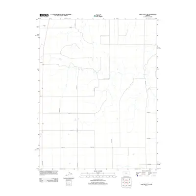
2012 Map of Lake Scott NE
USGS Topo · Published 2012About this map
Keystone Cem stands as a quiet landmark in the northwestern corner of this Logan County landscape, situated near the intersection of Dakota and N Navaho Rd. The terrain is defined by the winding course of Hell Cr, which meanders eastward across the northern half of the quadrangle. This area, recorded in the early 21st century, illustrates the grid-based settlement pattern of the High Plains, where long agricultural roads like E Logan Scott Rd and N Pawnee Rd segment the open country. The presence of Big Springs in the central portion of the map and W Salt Cr to the south highlights the vital role of water sources in this arid environment. Near the western margin, the settlement of Bison marks a point of human concentration along the established highway corridor.
Find a feature on this map
19 named features on this map. Tap any name to fly to it.
Don’t see what you’re looking for? This feature index may not catch every label — zoom into the map to look around manually.
Map Details
Editions of this 2012 Lake Scott NE Map
This is the sole edition of this map. No revisions or reprints were ever made.
Other maps of this area

1939 · Lake Mc Bride
USGS Topo · 1:24,000

1939 · Sandon
USGS Topo · 1:62,500

1942 · Sandon
USGS Topo · 1:62,500

1942 · Lake Mc Bride
USGS Topo · 1:31,680

1955 · Scott City
USGS Topo · 1:250,000

1958 · Scott City
USGS Topo · 1:250,000

1974 · Healy NW
USGS Topo · 1:24,000

1974 · Elkader SW
USGS Topo · 1:24,000

1974 · Elkader
USGS Topo · 1:24,000

1974 · Manning
USGS Topo · 1:24,000