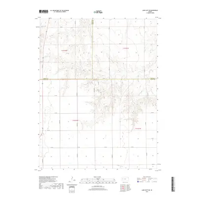
2018 Map of Lake Scott NE
USGS Topo · Published 2018About this map
Dakota and the surrounding plains of Western Kansas appear here in detail, centered on the tri-county junction of Logan, Gove, and Scott. The terrain is defined by the drainage basins of Hell Cr in the north and W Salt Cr in the south, which have carved intricate contour patterns into the High Plains. This 2018 survey reveals a landscape strictly organized by the Public Land Survey System, where modern corridors like Bison Rd and N Pawnee Rd follow century-old section lines. To the northwest, Keystone Cem stands as a quiet marker of the area's rural history. The map illustrates the persistent intersection of natural topography and the rigid grid of human settlement, documenting the persistent rural character of these Kansas counties.
Find a feature on this map
30 named features on this map. Tap any name to fly to it.
Don’t see what you’re looking for? This feature index may not catch every label — zoom into the map to look around manually.
Map Details
Editions of this 2018 Lake Scott NE Map
This is the sole edition of this map. No revisions or reprints were ever made.
Other maps of this area

1939 · Lake Mc Bride
USGS Topo · 1:24,000

1939 · Sandon
USGS Topo · 1:62,500

1942 · Sandon
USGS Topo · 1:62,500

1942 · Lake Mc Bride
USGS Topo · 1:31,680

1955 · Scott City
USGS Topo · 1:250,000

1958 · Scott City
USGS Topo · 1:250,000

1974 · Healy NW
USGS Topo · 1:24,000

1974 · Elkader SW
USGS Topo · 1:24,000

1974 · Elkader
USGS Topo · 1:24,000

1974 · Manning
USGS Topo · 1:24,000