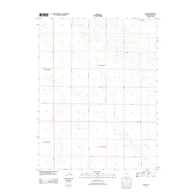
2013 Map of Lake SE
USGS Topo · Published 2013About this map
Long Br snakes through this high plains landscape of eastern Colorado, defining the subtle drainage patterns of the area. The terrain is characterized by the broad elevations of Webber Park in the northern reaches, where the land rises above the surrounding sections. This 2013 survey illustrates a highly organized grid of county roads, such as Co Road 26 and Co Road 27, which segment the territory into regular township and range blocks. The intersection of these routes, including Co Road 2U and Co Road 25, highlights the modern agricultural and ranching infrastructure that supports this portion of Lincoln County. The map provides a clear look at the Public Land Survey System boundaries, including t011s r055w and t012s r055w, essential for property research and land management in the region.
Find a feature on this map
19 named features on this map. Tap any name to fly to it.
Don’t see what you’re looking for? This feature index may not catch every label — zoom into the map to look around manually.
Map Details
Editions of this 2013 Lake SE Map
This is the sole edition of this map. No revisions or reprints were ever made.
Other maps of this area

1889 · Sanborn
USGS Topo · 1:125,000

1891 · Sanborn
USGS Topo · 1:125,000

1891 · Arroyo
USGS Topo · 1:125,000

1891 · Limon
USGS Topo · 1:125,000

1892 · Limon
USGS Topo · 1:125,000

1893 · Arroyo
USGS Topo · 1:125,000

1893 · Sanborn
USGS Topo · 1:125,000

1954 · Limon
USGS Topo · 1:250,000

1954 · Lamar
USGS Topo · 1:250,000

1957 · Limon
USGS Topo · 1:250,000