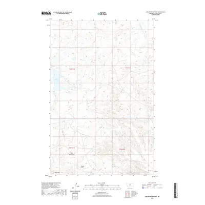
2020 Map of Lake Seventeen East
USGS Topo · Published 2020About this map
Spirit Woman Butte stands as a prominent landmark in this segment of Blaine County, overlooking a landscape defined by seasonal drainages and coulees. The geography is characterized by the descent from Timber Ridge in the south toward the flatlands and intermittent water bodies of the north. Significant water features include Lake Seventeen and the meandering paths of Duck Cr and Little Peoples Cr, which illustrate the hydrological patterns of the northern Montana plains. This 2020 edition provides a clear view of the Warneke Coulee and Warneke Flat, revealing the topographical relationships between these named features and the surrounding range. The map documents the persistent land divisions and natural landmarks that have guided ranchers and local inhabitants through the Hays District for generations.
Find a feature on this map
13 named features on this map. Tap any name to fly to it.
Don’t see what you’re looking for? This feature index may not catch every label — zoom into the map to look around manually.
Map Details
Editions of this 2020 Lake Seventeen East Map
This is the sole edition of this map. No revisions or reprints were ever made.
Other maps of this area

1943 · Landusky
USGS Topo · 1:125,000

1953 · Havre
USGS Topo · 1:250,000

1954 · Lewistown
USGS Topo · 1:250,000

1957 · Havre
USGS Topo · 1:250,000

1958 · Havre
USGS Topo · 1:250,000

1959 · Lewistown
USGS Topo · 1:250,000

1971 · Crazyman Coulee
USGS Topo · 1:24,000

1971 · Putnam Lake
USGS Topo · 1:24,000

1971 · Hays
USGS Topo · 1:24,000

1971 · Lodge Pole NW
USGS Topo · 1:24,000