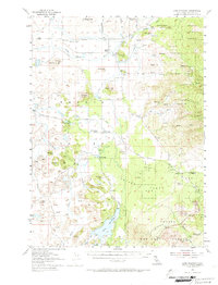
1954 Map of Lake Shastina
USGS Topo · Published 1974About this map
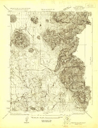
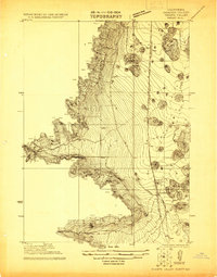
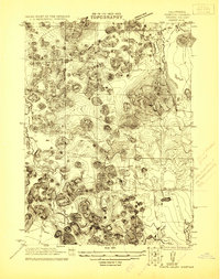
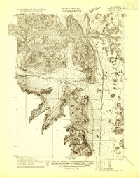
Lake Shastina, formerly known as Dwinnell Reservoir, dominates the central landscape of this Siskiyou County survey. The area is defined by the volcanic topography of the Shasta National Forest, where the Shasta River and Little Shasta River navigate a terrain marked by distinctive outcrops like Solomons Temple and Steamboat Mtn. The rural community structure of the mid-1950s is evident in the presence of the Little Shasta Cem and local educational hubs such as Big Springs School and Hovey Gulch School. A massive Lava Bed in the southeast corner leads toward Pluto Cave, illustrating the geologically active nature of the region. Transportation and utility infrastructure are anchored by the Southern Pacific railroad corridor and the Copco Substation, serving the small settlements of Big Springs and Alton.
Find a feature on this map
42 named features on this map. Tap any name to fly to it.
Don’t see what you’re looking for? This feature index may not catch every label — zoom into the map to look around manually.
Map Details
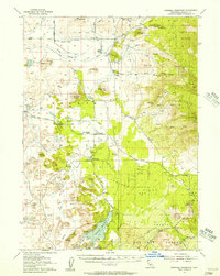
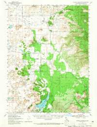
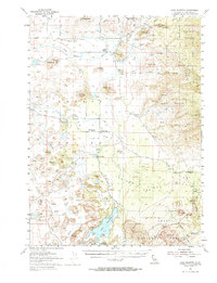
Editions of this 1954 Lake Shastina Map
4 editions found
Other maps of this area

1886 · Shasta
USGS Topo · 1:250,000

1894 · Shasta
USGS Topo · 1:250,000

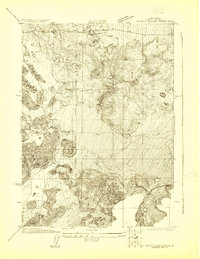
1921 · Shasta Valley Sheet No 7
USGS Topo · 1:24,000
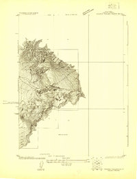
1921 · Shasta Valley Sheet No 11
USGS Topo · 1:24,000
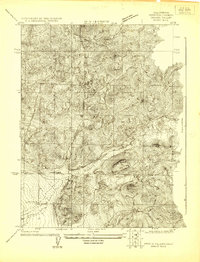
1921 · Shasta Valley Sheet No 1
USGS Topo · 1:24,000
1921 · Shasta Valley Sheet No 6
USGS Topo · 1:24,000
1921 · Shasta Valley Sheet No 2
USGS Topo · 1:24,000
1922 · Shasta Valley Sheet No 10
USGS Topo · 1:24,000
1922 · Shasta Valley Sheet No 10 E
USGS Topo · 1:24,000
1922 · Shasta Valley Sheet No 12
USGS Topo · 1:24,000