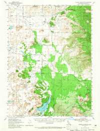
1954 Map of Dwinnell Reservoir
USGS Topo · Published 1965About this map
Little Shasta and the Dwinnell Reservoir dominate this high-desert basin in Siskiyou County, where water management defines the landscape. The geography is marked by complex hydraulic systems, including an extensive network of irrigation features like the Ditch and Flume lines that serve the Shasta River valley. To the east, the volcanic character of the Shasta National Forest becomes evident near Pluto Cave and the Lava Flat, where the Southern Pacific railroad skirts the foothills of Haystack and Yellow Butte.
Find a feature on this map
53 named features on this map. Tap any name to fly to it.
Don’t see what you’re looking for? This feature index may not catch every label — zoom into the map to look around manually.
Map Details
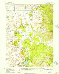
Editions of this 1954 Dwinnell Reservoir Map
4 editions found
Other maps of this area

1886 · Shasta
USGS Topo · 1:250,000

1894 · Shasta
USGS Topo · 1:250,000

1921 · Shasta Valley Sheet No 7
USGS Topo · 1:24,000

1921 · Shasta Valley Sheet No 11
USGS Topo · 1:24,000

1921 · Shasta Valley Sheet No 1
USGS Topo · 1:24,000

1921 · Shasta Valley Sheet No 6
USGS Topo · 1:24,000

1921 · Shasta Valley Sheet No 2
USGS Topo · 1:24,000

1922 · Shasta Valley Sheet No 10
USGS Topo · 1:24,000

1922 · Shasta Valley Sheet No 10 E
USGS Topo · 1:24,000

1922 · Shasta Valley Sheet No 12
USGS Topo · 1:24,000