1921 Map of Shasta Valley Sheet No 2
USGS Topo · Published 1921About this map
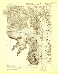
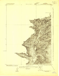
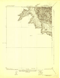
Grenada serves as the central rail and transit hub in this 1921 survey, where the Southern Pacific (Shasta Route) and the Pacific Highway converge along the eastern valley floor. The map, produced in cooperation with the U. S. Reclamation Service, highlights the complex water management systems of the era, most notably the winding path of the Old Yreka Mining Ditch as it traverses the western slopes. Local civic life is anchored by the Excelsior School to the north and Vineland School tucked into the foothills. The landscape is defined by the sharp contrast between the irrigated valley along the Shasta River and the steep, intricate contours of the surrounding ridges. This document captures Siskiyou County just as modern infrastructure began to formalize the irrigation and transportation networks of the Shasta River basin.
Find a feature on this map
7 named features on this map. Tap any name to fly to it.
Don’t see what you’re looking for? This feature index may not catch every label — zoom into the map to look around manually.
Map Details
Editions of this 1921 Shasta Valley Sheet No 2 Map
This is the sole edition of this map. No revisions or reprints were ever made.
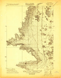
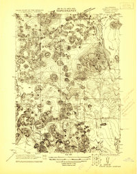
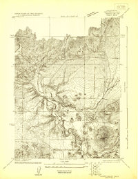
Other maps of this area

1886 · Shasta
USGS Topo · 1:250,000

1894 · Shasta
USGS Topo · 1:250,000

1921 · Shasta Valley Sheet No 7
USGS Topo · 1:24,000
1921 · Shasta Valley Sheet No 1
USGS Topo · 1:24,000
1921 · Shasta Valley Sheet No 6
USGS Topo · 1:24,000
1922 · Shasta Valley Sheet No 4
USGS Topo · 1:24,000
1922 · Shasta Valley Sheet No 3
USGS Topo · 1:24,000
1922 · Shasta Valley Sheet No 3 S
USGS Topo · 1:24,000
1922 · Shasta Valley Sheet No 5
USGS Topo · 1:24,000

1932 · Yreka
USGS Topo · 1:96,000