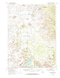
1954 Map of Lake Shastina
USGS Topo · Published 1974About this map
The Shasta River and Little Shasta River converge in this volcanic basin of Siskiyou County, where the 1954 landscape is defined by extensive lava flows and agricultural water management. The newly named Lake Shastina (formerly Dwinnell Reservoir) dominates the southern portion of the sheet, showing blue hatching to indicate controlled inundation areas. Settlement is concentrated in small rural pockets like Little Shasta and Big Springs, which serve the surrounding ranching and timber interests.
Find a feature on this map
46 named features on this map. Tap any name to fly to it.
Don’t see what you’re looking for? This feature index may not catch every label — zoom into the map to look around manually.
Map Details
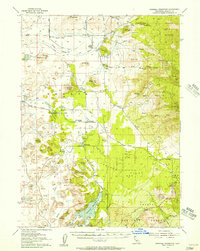
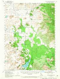
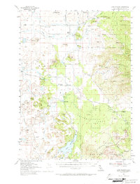
Editions of this 1954 Lake Shastina Map
4 editions found
Other maps of this area

1886 · Shasta
USGS Topo · 1:250,000

1894 · Shasta
USGS Topo · 1:250,000

1921 · Shasta Valley Sheet No 7
USGS Topo · 1:24,000

1921 · Shasta Valley Sheet No 11
USGS Topo · 1:24,000

1921 · Shasta Valley Sheet No 1
USGS Topo · 1:24,000

1921 · Shasta Valley Sheet No 6
USGS Topo · 1:24,000

1921 · Shasta Valley Sheet No 2
USGS Topo · 1:24,000

1922 · Shasta Valley Sheet No 10
USGS Topo · 1:24,000

1922 · Shasta Valley Sheet No 10 E
USGS Topo · 1:24,000

1922 · Shasta Valley Sheet No 12
USGS Topo · 1:24,000