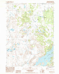
1984 Map of Lake Shastina
USGS Topo · Published 1988About this map
The Shasta Valley landscape dominated by water and volcanic features is captured here in the early 1980s, revealing a region defined by its complex hydrology. The Shasta River and its various tributaries, such as Little Springs Creek and Big Springs Creek, weave through the valley floor, feeding into the prominent Lake Shastina. A series of natural depressions known as Hole in the Ground and Hole in the Ground Lake suggest the unique geological character of this Siskiyou County terrain.
Find a feature on this map
28 named features on this map. Tap any name to fly to it.
Don’t see what you’re looking for? This feature index may not catch every label — zoom into the map to look around manually.
Map Details
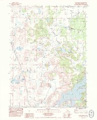
Editions of this 1984 Lake Shastina Map
2 editions found
Other maps of this area

1886 · Shasta
USGS Topo · 1:250,000

1894 · Shasta
USGS Topo · 1:250,000

1921 · Shasta Valley Sheet No 7
USGS Topo · 1:24,000

1921 · Shasta Valley Sheet No 11
USGS Topo · 1:24,000

1921 · Shasta Valley Sheet No 1
USGS Topo · 1:24,000

1921 · Shasta Valley Sheet No 6
USGS Topo · 1:24,000

1921 · Shasta Valley Sheet No 2
USGS Topo · 1:24,000

1922 · Shasta Valley Sheet No 10
USGS Topo · 1:24,000

1922 · Shasta Valley Sheet No 1 S
USGS Topo · 1:24,000

1922 · Shasta Valley Sheet No 9
USGS Topo · 1:24,000