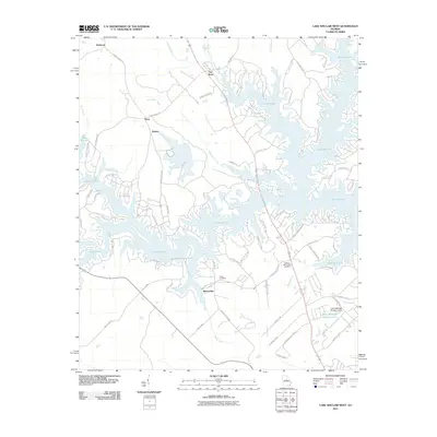
2011 Map of Lake Sinclair West
USGS Topo · Published 2011About this map
Lake Sinclair dominates this landscape, its sprawling fingers reaching into the surrounding terrain and creating a complex network of coves and peninsulas. The settlement pattern here is deeply tied to the water, with residential developments like Hallwood and Dennis situated alongside established landmarks such as the John Milledge Academy Dam. Further inland, the map captures the transition to rural crossroads and small communities, including Meriwether and Flat Rock.
Find a feature on this map
73 named features on this map. Tap any name to fly to it.
Don’t see what you’re looking for? This feature index may not catch every label — zoom into the map to look around manually.
Map Details
Editions of this 2011 Lake Sinclair West Map
This is the sole edition of this map. No revisions or reprints were ever made.
Other maps of this area

1912 · Milledgeville
USGS Topo · 1:62,500

1953 · Athens
USGS Topo · 1:250,000

1958 · Athens
USGS Topo · 1:250,000

1959 · Athens
USGS Topo · 1:250,000

1963 · Athens
USGS Topo · 1:250,000

1972 · Meda
USGS Topo · 1:24,000

1972 · Eatonton
USGS Topo · 1:24,000
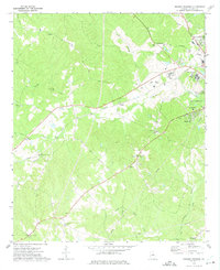
1972 · Browns Crossing
USGS Topo · 1:24,000
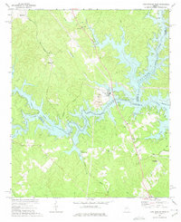
1972 · Lake Sinclair West
USGS Topo · 1:24,000
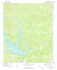
1972 · Lake Sinclair East
USGS Topo · 1:24,000