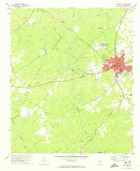
1972 Map of Eatonton
USGS Topo · Published 1974About this map
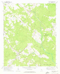
Eatonton serves as the focal point of this Putnam County landscape, where the Central of Georgia railroad intersects the town's street grid near the Museum and Eatonton High Sch. The town layout is dense with local history, featuring landmarks like Gatewood Academy and the Armory, while the surrounding terrain is defined by the Oconee National Forest. To the west, the forest canopy is interrupted by pipeline clearings and the winding course of the Little River. Rural settlements and family landmarks are scattered throughout the quadrangle, including Imperial to the north and the small community of Willard to the west. The presence of numerous country churches such as Mount Gilead Ch and Brown Chapel indicates the long-standing social fabric of these unincorporated areas. Waterways like Murder Creek and Pearson Creek drain the undulating landscape, providing a clear view of the natural geography before modern suburban expansion.
Find a feature on this map
53 named features on this map. Tap any name to fly to it.
Don’t see what you’re looking for? This feature index may not catch every label — zoom into the map to look around manually.
Map Details
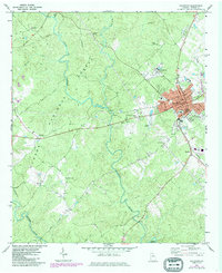
Editions of this 1972 Eatonton Map
2 editions found
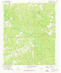
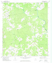
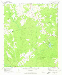
Other maps of this area

1953 · Athens
USGS Topo · 1:250,000

1958 · Athens
USGS Topo · 1:250,000

1959 · Athens
USGS Topo · 1:250,000

1963 · Athens
USGS Topo · 1:250,000
1964 · Stanfordville
USGS Topo · 1:24,000
1972 · Meda
USGS Topo · 1:24,000
1972 · Shady Dale
USGS Topo · 1:24,000
1972 · Smithboro
USGS Topo · 1:24,000
1972 · Harmony
USGS Topo · 1:24,000
1972 · Rock Eagle Lake
USGS Topo · 1:24,000