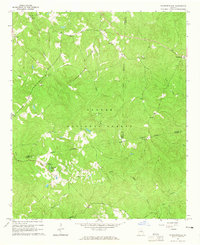
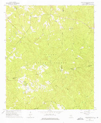
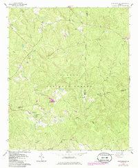
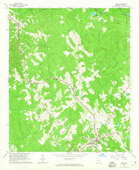
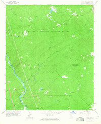
1964 Map of Stanfordville
USGS Topo · Published 1965About this map
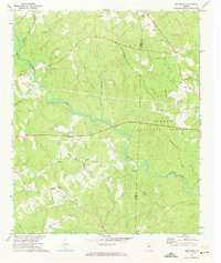
The rolling timberlands of the Oconee National Forest dominate this mid-century landscape where the borders of Jasper, Putnam, and Jones counties converge. The small settlement of Stanfordville sits in the northeast corner, while Goolsby anchors the western edge, connected by a network of unimproved roads and forest boundaries. The rural character of the area is underscored by its spiritual landmarks, including Mt Carmel Ch, Wesley Chapel, and Griggs Chapel, alongside the Union Hill Ch Cem.
Find a feature on this map
28 named features on this map. Tap any name to fly to it.
Don’t see what you’re looking for? This feature index may not catch every label — zoom into the map to look around manually.
Map Details
Editions of this 1964 Stanfordville Map
3 editions found
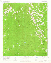
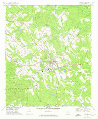
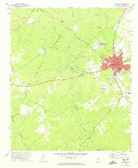
Other maps of this area

1953 · Athens
USGS Topo · 1:250,000

1958 · Athens
USGS Topo · 1:250,000

1959 · Athens
USGS Topo · 1:250,000

1963 · Athens
USGS Topo · 1:250,000
1964 · Gray
USGS Topo · 1:24,000
1964 · Dames Ferry
USGS Topo · 1:24,000
1964 · Hillsboro
USGS Topo · 1:24,000
1972 · Monticello
USGS Topo · 1:24,000
1972 · Eatonton
USGS Topo · 1:24,000
1972 · Smithboro
USGS Topo · 1:24,000