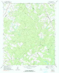
1972 Map of Farrar
USGS Topo · Published 1991About this map
Central Georgia railroad tracks cut a diagonal path through this rural landscape in the early 1970s, anchoring the small settlement of Farrar. The surrounding terrain is defined by the winding course of Murder Creek and its many tributaries, including Pittman Creek and Sheppard Creek. This survey captures a network of rural communities centered around longstanding local institutions, such as Pitts Chapel, Shiloh Ch, and Liberty Ch.
Find a feature on this map
33 named features on this map. Tap any name to fly to it.
Don’t see what you’re looking for? This feature index may not catch every label — zoom into the map to look around manually.
Map Details
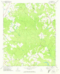
Editions of this 1972 Farrar Map
2 editions found
Other maps of this area

1896 · Monroe
USGS Topo · 1:125,000

1953 · Athens
USGS Topo · 1:250,000

1958 · Athens
USGS Topo · 1:250,000

1959 · Athens
USGS Topo · 1:250,000

1963 · Athens
USGS Topo · 1:250,000

1964 · Lloyd Shoals Dam
USGS Topo · 1:24,000

1964 · Stewart
USGS Topo · 1:24,000

1964 · Covington
USGS Topo · 1:24,000

1972 · Monticello
USGS Topo · 1:24,000

1972 · Shady Dale
USGS Topo · 1:24,000