
1964 Map of Stewart
USGS Topo · Published 1965About this map
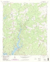
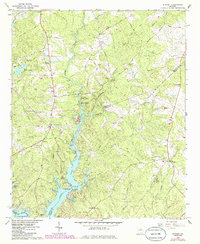
The confluence of the South River, Yellow River, and Alcovy River defines this landscape in the mid-1960s, where the waters merge into the northern reaches of Jackson Lake. This area along the Newton and Jasper County line reveals a transition from traditional rural settlements like Stewart and Newton Factory toward recreational and institutional land use. Evidence of this shift is visible in the presence of the Boy Scout Camp, the FFA and FHA Camp on the lake's banks, and several residential developments such as Alcovy Shores.
Find a feature on this map
70 named features on this map. Tap any name to fly to it.
Don’t see what you’re looking for? This feature index may not catch every label — zoom into the map to look around manually.
Map Details
Editions of this 1964 Stewart Map
3 editions found
Other maps of this area

1896 · Monroe
USGS Topo · 1:125,000

1953 · Athens
USGS Topo · 1:250,000

1958 · Athens
USGS Topo · 1:250,000

1959 · Athens
USGS Topo · 1:250,000

1963 · Athens
USGS Topo · 1:250,000

1964 · Lloyd Shoals Dam
USGS Topo · 1:24,000
1964 · Jackson
USGS Topo · 1:24,000

1964 · Worthville
USGS Topo · 1:24,000

1964 · Porterdale
USGS Topo · 1:24,000

1964 · Covington
USGS Topo · 1:24,000