
1964 Map of Porterdale
USGS Topo · Published 1966About this map
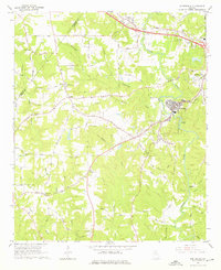
The Yellow River meanders through Newton County in this mid-1960s survey, anchoring the industrial and residential development of Porterdale. The landscape is a mix of dense wooded creek valleys and a growing network of rural roads that connect long-established community centers. The Central of Georgia railroad tracks follow the river's path, serving the mill town atmosphere of the era. To the northwest, the settlement of Almon sits near the crossing of Gum Creek, while the western edge of Covington appears to the east.
Find a feature on this map
50 named features on this map. Tap any name to fly to it.
Don’t see what you’re looking for? This feature index may not catch every label — zoom into the map to look around manually.
Map Details
Editions of this 1964 Porterdale Map
4 editions found
Other maps of this area

1888 · Atlanta
USGS Topo · 1:125,000

1890 · Atlanta
USGS Topo · 1:125,000

1892 · Atlanta
USGS Topo · 1:125,000

1895 · Atlanta
USGS Topo · 1:125,000

1896 · Monroe
USGS Topo · 1:125,000

1953 · Atlanta
USGS Topo · 1:250,000

1953 · Athens
USGS Topo · 1:250,000

1956 · Conyers
USGS Topo · 1:24,000

1957 · Atlanta
USGS Topo · 1:250,000

1958 · Athens
USGS Topo · 1:250,000