
1964 Map of Covington
USGS Topo · Published 1966About this map
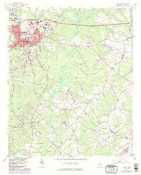
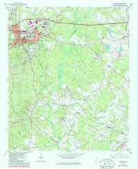
The Alcovy River and its winding tributaries, including Cornish Creek and Dried Indian Creek, carve through the Newton County landscape east of the seat of Covington. In the mid-1960s, the area reflects a transition from rural crossroads like Starrsville and Hayston toward suburban expansion, evidenced by the Shopping Center and Drive-in Theater near Hub Junction. Local education and community life are anchored by Emory Jr College in Oxford and numerous country congregations such as Pascall Ch and Love Joy Ch.
Find a feature on this map
63 named features on this map. Tap any name to fly to it.
Don’t see what you’re looking for? This feature index may not catch every label — zoom into the map to look around manually.
Map Details
Editions of this 1964 Covington Map
3 editions found
Other maps of this area

1896 · Monroe
USGS Topo · 1:125,000

1953 · Athens
USGS Topo · 1:250,000

1958 · Athens
USGS Topo · 1:250,000

1959 · Athens
USGS Topo · 1:250,000

1963 · Athens
USGS Topo · 1:250,000

1964 · Stewart
USGS Topo · 1:24,000

1964 · Worthville
USGS Topo · 1:24,000

1964 · Porterdale
USGS Topo · 1:24,000
1964 · Milstead
USGS Topo · 1:24,000
1964 · Jersey
USGS Topo · 1:24,000