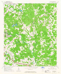
1964 Map of Milstead
USGS Topo · Published 1966About this map
The Yellow River meanders through this portion of northern Georgia, defining a landscape of traditional church-centered communities and early milling sites. The mill town of Milstead sits prominently along the riverbank, supported by the nearby Conyers Waterworks and a network of early roads. This mid-1960s survey captures the area just as suburban patterns began to emerge, visible in the Trailer Park and Drive-in Theater along the southern corridor near the Golf Course.
Find a feature on this map
73 named features on this map. Tap any name to fly to it.
Don’t see what you’re looking for? This feature index may not catch every label — zoom into the map to look around manually.
Map Details
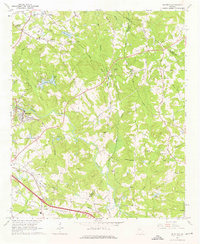
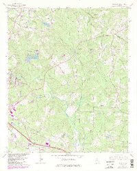
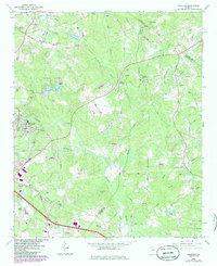
Editions of this 1964 Milstead Map
4 editions found
Other maps of this area

1888 · Atlanta
USGS Topo · 1:125,000

1890 · Atlanta
USGS Topo · 1:125,000

1892 · Atlanta
USGS Topo · 1:125,000

1895 · Atlanta
USGS Topo · 1:125,000

1896 · Monroe
USGS Topo · 1:125,000

1953 · Atlanta
USGS Topo · 1:250,000

1953 · Athens
USGS Topo · 1:250,000

1956 · Snellville
USGS Topo · 1:24,000

1956 · Conyers
USGS Topo · 1:24,000

1957 · Atlanta
USGS Topo · 1:250,000