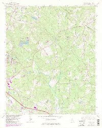
1964 Map of Milstead
USGS Topo · Published 1985About this map
The Yellow River carves through the center of this Georgia landscape, defining a region where early pioneer routes and industrial mill sites meet mid-century development. Evidence of the area's ancient history is found at the Hightower Indian Trail Monument in the northwest, marking a path that predates the surrounding settlements of Milstead and Zingara. The waterway's utility is visible in the placement of the Costley Millpond and Dials Millpond, alongside the Rock Mill Fish Hatchery situated on a bend in the river. Genealogy researchers can find several rural landmarks including the Philadelphia Ch, Mt Zion Ch, and the Almand Cem. While the terrain is dominated by the ridges of Griffin Mtn and various branches of Haynes Creek, the 1980s updates reflect growth near Conyers and Oxford, showing a transition from a river-driven economy to a suburbanizing corridor.
Find a feature on this map
53 named features on this map. Tap any name to fly to it.
Don’t see what you’re looking for? This feature index may not catch every label — zoom into the map to look around manually.
Map Details
Editions of this 1964 Milstead Map
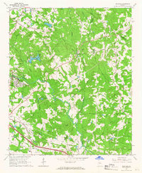
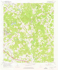
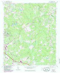
4 editions found
Other maps of this area

1888 · Atlanta
USGS Topo · 1:125,000

1890 · Atlanta
USGS Topo · 1:125,000

1892 · Atlanta
USGS Topo · 1:125,000

1895 · Atlanta
USGS Topo · 1:125,000

1896 · Monroe
USGS Topo · 1:125,000

1953 · Atlanta
USGS Topo · 1:250,000

1953 · Athens
USGS Topo · 1:250,000

1956 · Snellville
USGS Topo · 1:24,000

1956 · Conyers
USGS Topo · 1:24,000

1957 · Atlanta
USGS Topo · 1:250,000