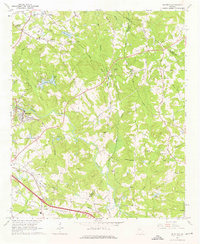
1964 Map of Milstead
USGS Topo · Published 1976About this map
The Yellow River winds through the heart of this North Georgia landscape, serving as a focal point for local industry and recreation during the mid-1960s. Near the settlement of Milstead, the river's path is flanked by the Rock Mill Fish Hatchery and the Conyers Waterworks, while the southern reaches of the map show the Georgia railroad line passing near a Drive-in Theater. This era reveals a rural community deeply connected to its land through a network of millponds, including Dials Millpond and Costley Millpond along Big Haynes Creek.
Find a feature on this map
69 named features on this map. Tap any name to fly to it.
Don’t see what you’re looking for? This feature index may not catch every label — zoom into the map to look around manually.
Map Details
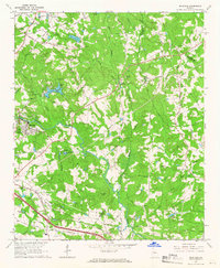
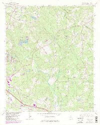
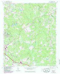
Editions of this 1964 Milstead Map
4 editions found
Other maps of this area

1888 · Atlanta
USGS Topo · 1:125,000

1890 · Atlanta
USGS Topo · 1:125,000

1892 · Atlanta
USGS Topo · 1:125,000

1895 · Atlanta
USGS Topo · 1:125,000

1896 · Monroe
USGS Topo · 1:125,000

1953 · Atlanta
USGS Topo · 1:250,000

1953 · Athens
USGS Topo · 1:250,000

1956 · Snellville
USGS Topo · 1:24,000

1956 · Conyers
USGS Topo · 1:24,000

1957 · Atlanta
USGS Topo · 1:250,000