
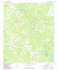
1964 Map of Worthville
USGS Topo · Published 1965About this map
The confluence of the South River and Yellow River defines this mid-century landscape where Newton, Henry, and Butts counties meet. In the early 1960s, these waterways remained a primary geographic focus, feeding into Jackson Lake at the southern edge of the sheet. The area is characterized by rural crossroads and riverside settlements like Snapping Shoals and Worthville, which served as local hubs for the surrounding farming community.
Find a feature on this map
42 named features on this map. Tap any name to fly to it.
Don’t see what you’re looking for? This feature index may not catch every label — zoom into the map to look around manually.
Map Details
Editions of this 1964 Worthville Map
2 editions found
Other maps of this area

1888 · Atlanta
USGS Topo · 1:125,000

1890 · Atlanta
USGS Topo · 1:125,000

1892 · Atlanta
USGS Topo · 1:125,000

1895 · Atlanta
USGS Topo · 1:125,000

1896 · Monroe
USGS Topo · 1:125,000

1953 · Atlanta
USGS Topo · 1:250,000

1953 · Athens
USGS Topo · 1:250,000

1957 · Atlanta
USGS Topo · 1:250,000

1958 · Athens
USGS Topo · 1:250,000

1958 · Atlanta
USGS Topo · 1:250,000