
1964 Map of Lloyd Shoals Dam
USGS Topo · Published 1965About this map
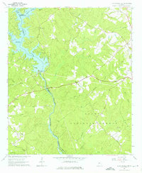
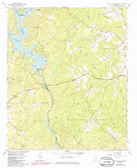
Lloyd Shoals Dam serves as the focal point of this mid-century landscape, where the South River and Alcovy River converge to form the sprawling waters of Jackson Lake. This 1964 survey captures the rural character of the borderlands between Butts, Jasper, and Newton Counties. The eastern portion of the map is dominated by the dense canopy of the Oconee National Forest, while the northern banks feature family-named landmarks like Leverette Neck and the small settlement of Leverette. Community life is anchored by numerous country churches and cemeteries, including Mt Zion Ch, Bethlehem Ch, and Minter Cem. Downstream from the dam, the Ocmulgee River winds south through heavily forested terrain, passing Forty Acre Island as it flows toward the southern boundary of the quadrangle.
Find a feature on this map
42 named features on this map. Tap any name to fly to it.
Don’t see what you’re looking for? This feature index may not catch every label — zoom into the map to look around manually.
Map Details
Editions of this 1964 Lloyd Shoals Dam Map
3 editions found
Other maps of this area

1951 · Forsyth
USGS Topo · 1:62,500

1953 · Athens
USGS Topo · 1:250,000

1958 · Athens
USGS Topo · 1:250,000

1959 · Athens
USGS Topo · 1:250,000

1963 · Athens
USGS Topo · 1:250,000
1964 · Jackson
USGS Topo · 1:24,000

1964 · Stewart
USGS Topo · 1:24,000

1964 · Hillsboro
USGS Topo · 1:24,000

1964 · Worthville
USGS Topo · 1:24,000

1972 · Monticello
USGS Topo · 1:24,000