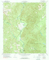
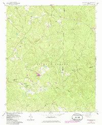
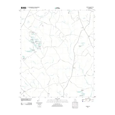
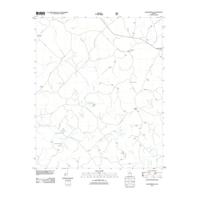
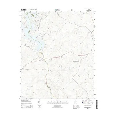
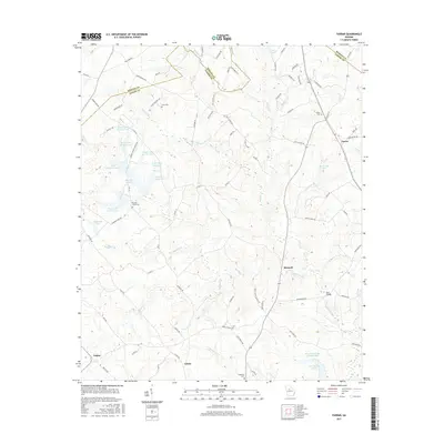
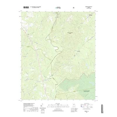
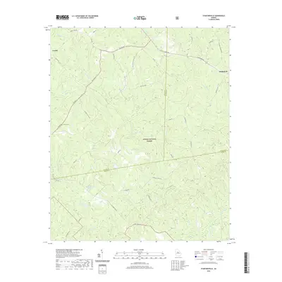
1973 Map of Berner
USGS Topo · Published 1975About this map
The Ocmulgee River meanders through the heart of this Central Georgia landscape, serving as a natural boundary between Butts, Jasper, Monroe, and Jones counties. Along its course, distinctive features like Forty Acre Island, Nelson Island, and Tyler Island emerge from the channel. To the west, the Southern railroad line runs parallel to the river through the settlements of Cork and Berner, while the Towaliga River joins the Ocmulgee near the map's southern edge.
Find a feature on this map
41 named features on this map. Tap any name to fly to it.
Don’t see what you’re looking for? This feature index may not catch every label — zoom into the map to look around manually.
Map Details
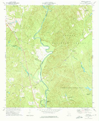
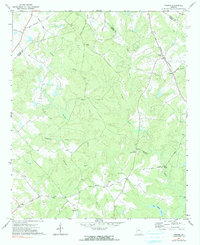
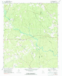
Editions of this 1973 Berner Map
2 editions found
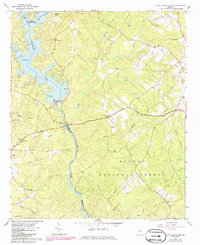
Historical Maps of Cork Through Time
36 maps found
1964 Hillsboro
Jasper County, GA
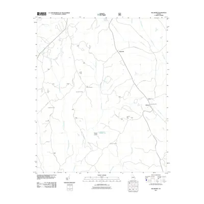
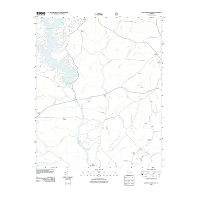
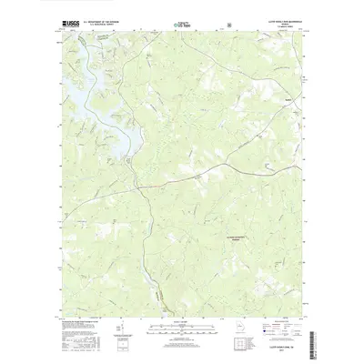
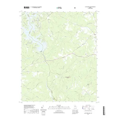
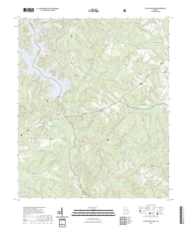
1964 Lloyd Shoals Dam
Jasper County, GA
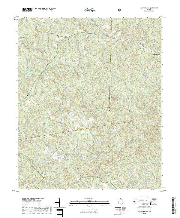
1964 Stanfordville
Jasper County, GA
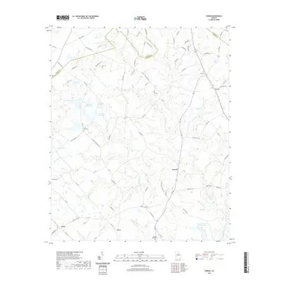
1972 Farrar
Jasper County, GA
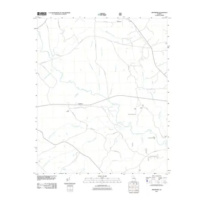
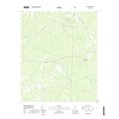
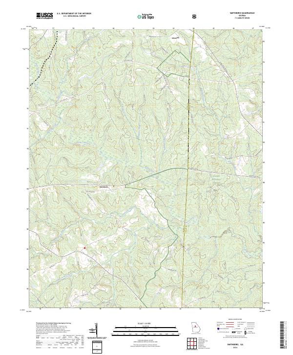
1972 Smithboro
Jasper County, GA
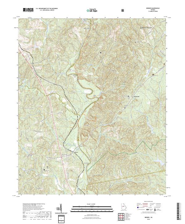
1973 Berner
Jasper County, GA
2011 Berner
Jasper County, GA
2011 Farrar
Jasper County, GA
2011 Hillsboro
Jasper County, GA
2011 Lloyd Shoals Dam
Jasper County, GA
2011 Smithboro
Jasper County, GA
2011 Stanfordville
Jasper County, GA
2014 Berner
Jasper County, GA
2014 Farrar
Jasper County, GA
2014 Hillsboro
Jasper County, GA
2014 Lloyd Shoals Dam
Jasper County, GA
2014 Smithboro
Jasper County, GA
2014 Stanfordville
Jasper County, GA
2017 Berner
Jasper County, GA
2017 Farrar
Jasper County, GA

2017 Hillsboro
Jasper County, GA
2017 Lloyd Shoals Dam
Jasper County, GA
2017 Smithboro
Jasper County, GA
2017 Stanfordville
Jasper County, GA
2020 Berner
Jasper County, GA
2020 Farrar
Jasper County, GA

2020 Hillsboro
Jasper County, GA
2020 Lloyd Shoals Dam
Jasper County, GA
2020 Smithboro
Jasper County, GA
2020 Stanfordville
Jasper County, GA
2024 Berner
Jasper County, GA
2024 Farrar
Jasper County, GA
2024 Hillsboro
Jasper County, GA
2024 Lloyd Shoals Dam
Jasper County, GA
2024 Smithboro
Jasper County, GA
2024 Stanfordville
Jasper County, GA